Tellart creates topographic sandpit table that lets you move mountains
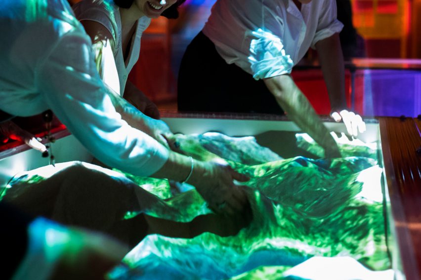
Users can "play God" on Tellart's Terraform Table – a sandpit imagined as a vast aerial landscape of mountains, valleys, lakes and rivers.
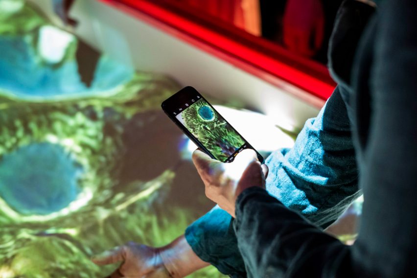
The interactive installation is lit by a relief map projection that responds to changes on the table's sandy surface.
It is programmed with a machine-learning algorithm that reads the relative height of the sand and composes a matching projection accordingly, drawing on a database of satellite imagery of Earth.
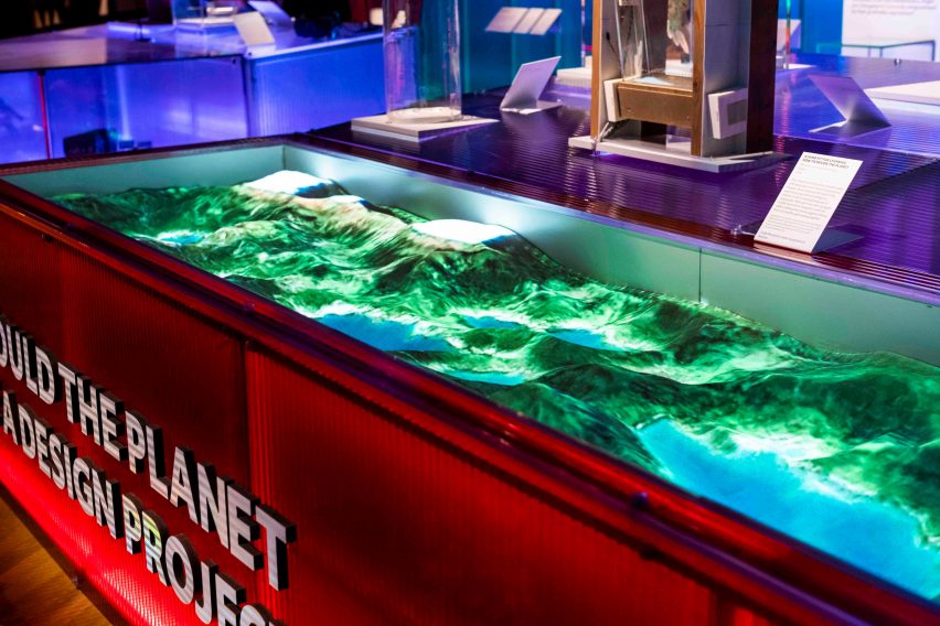
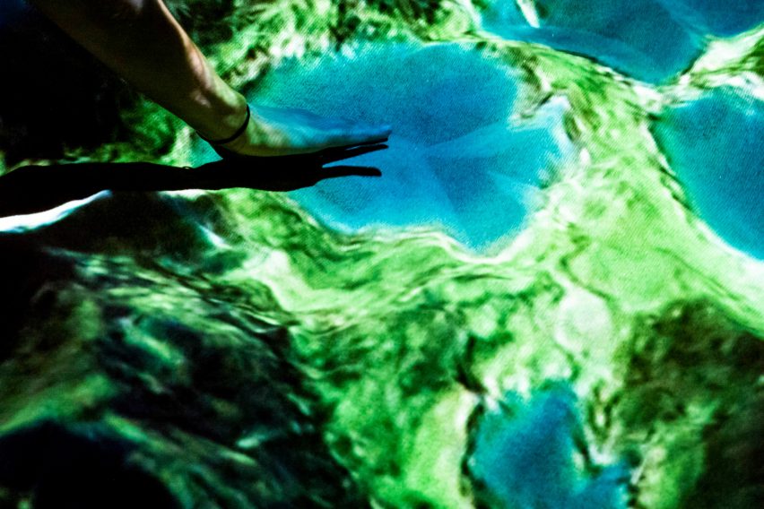
That means that if a user sweeps their hand across the table, filling in a depression in the sand, the projection over it shifts from blue water to green forest.
If they build high enough, it eventually transforms into a white cap of snow. So the Terraform Table is effectively a way of moving mountains.
Design studio Tellart created the table in response to a commission by London's V&A museum for its technology-focused exhibition The Future Starts Here. The curators wanted a piece that would address the question "Should we shape the Earth and other planets for human use?"
"The work inspires contemplation and debate about whether humans should use technology to transform other bodies, like the Moon or Mars, into human habitats," said Tellart.
"Do humans have the right to override these pristine natural ecosystems for our own scientific, commercial or political motivations?"
It added: "This piece of speculative design is a tool that enables critical discourse on decisions we make today about technologies and their potential downstream implications, both positive and negative."
The "terraforming" of the installation's title refers to the idea of changing a planet's topography to more closely resemble Earth and make it suitable for human habitation. Terraforming is a common concept in science fiction but also occurs in science.
The Terraform Table runs on custom software that is based on the open-source application Magic Sand, which is in turn based on an augmented-reality sandpit developed by the UC Davis’ W.M. Keck Center for Active Visualization in the Earth Sciences.
Over time, the algorithm learned to spot patterns between the shape of landforms and how they look in aerial photography. This is what's known as machine learning.
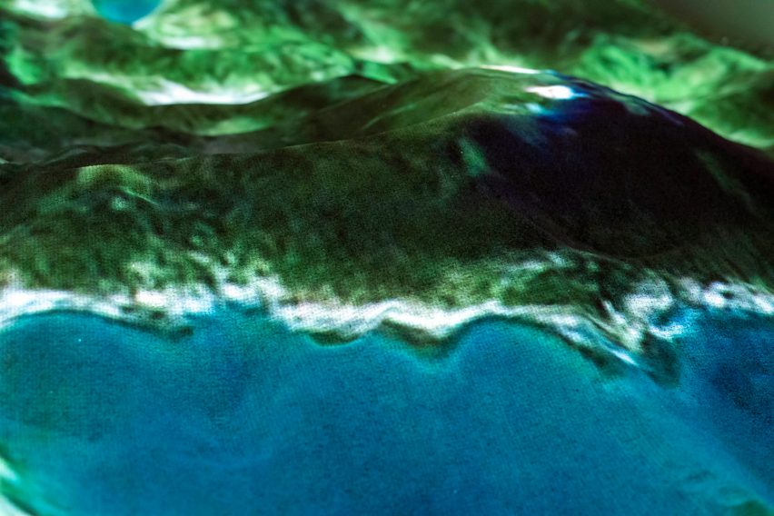
It works with a depth-sensing camera pointed on the table to adapt the projection in real time. While the projections look like one whole image, they are actually a composite of multiple photographs from all over the world.
"Our mental image of the Earth, today, is highly influenced by the way it appears in photography taken from space," said Tellart.
"The Terraform Table imagery, being a synthesis of real Earth images from many specific locations, can be thought of as an abstract image of 'Earthness' intended to spark a new and emotional connection with our planet."
The Terraform Table runs on custom software that is based on the open-source application Magic Sand. Tellart says that in this spirit, it soon intends to "release the project back to the open-source community".
An earlier version of the table was shown in 2014 as part of the Museum of the Future exhibition at Dubai's World Government Summit.
Tellart was founded in 2000 as a design studio focused on integrating digital technology. A winner of the USA's National Design Award in 2016, it has offices in the US and The Netherlands.
The studio's previous projects include the Google Web Lab at London's Science Museum.
The Terraform Table is on display at The Future Starts Here exhibition until 4 November 2018, alongside objects as diverse as MIT's 3D-printed inflatable and Foster + Partners' model for carbon-neutral Masdar City in Abu Dhabi.
Project credits:
Design: Tellart
Software design: Tellart iteration on Magic-Sand by Thomas Wolf & Rasmus R. Paulsen, which is a partial port of the Augmented Reality Sandbox by Oliver Kreylos, UC Davis.